China Research Seminar Series talk given by Han Zhaoqing, Fudan University.
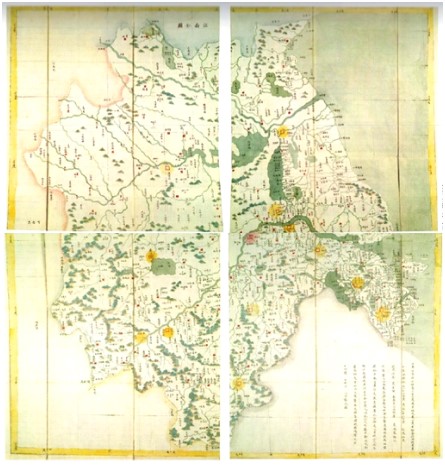
The Kangxi-era Map of Complete View of the Imperial Territories (Kangxi Huangyu quan lan tu, 康熙皇舆全览图, hereinafter referred to as “Kangtu”), also known as the Jesuit Atlas, was completed in the 58th year of the Kangxi reign (1662-1722). It was the first official map in China to use latitude and longitude as well as contemporary mapping projection methods. Western missionaries provided technical advice while local officials and related staff handled the sketching and logistical support. The map was drawn on the basis of surveys organized by the Qing government and with reference to local documents. The Kangtu presents the territory of the Kangxi period in a form that is familiar to us today, although its extent does not precisely match the limits of the Qing dynasty at that time. The scale of the map is approximately 1:140. It is a masterpiece in the history of global cartography since it was the largest and most accurate map ever created and it is also a monument to the scientific and technological exchange between China and the West. The map was initially engraved on copper plates in its whole in 1719, and since then, other editions have been produced and distributed throughout the globe. The five sections of this report include an overview of the Kangtu study, the digitization process, an introduction to the present work in digitization, a case study of the work in application, and future plans for the Kangtu research.
Han Zhaoqing, professor from Fudan University of China. She graduated from the Department of Geography of Nanjing University in 1992 with a B.S. After receiving her Ph.D. in history from the Institute of Chinese Historical Geography of Fudan University in 1998, she stayed at the Institute as a lecturer and was promoted to professor in 2012. She was a visiting scholar at the Harvard-Yenching Institute in 2000-2001 and at the Department of History at Yale University in 2011. She has published two scholarly monographs, 黄淮关系及其演变过程研究 (The Evolution of the Relationship between the Yellow River and the Huai River), and 荒漠、水系、三角洲:中国环境史的区域研究 ( Deserts, Rivers,Lakes, Deltas:Studies in China’s Regional Environmental History) She translated Environmental History in China and the West: Its Origins and Prospects (by Prof. Peter Perdue) into Chinese and published it in 2018. She has also published more than 60 academic papers in various disciplines, including historical geography, environmental history, and the history of Chinese cartography.
| Contact |
|---|
| Dr Noga Ganany: ng462@cam.ac.uk |